Discover Himalayan landscapes through 45 informational trek guides. Explore the route, seasons, difficulty and preparation for each trek.
Kumaon Trek Guides
Kumaon’s trails connect Himalayan viewpoints, old trading valleys, mountain villages and glacier approaches. Around Munsiyari, the Panchachuli range shapes the skyline, while the Pindar valley opens toward Pindari, Kafni and Sunderdhunga. Choose a route by its terrain and remoteness: a short viewpoint walk and a multi-day glacier approach need very different preparation.
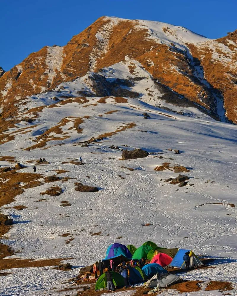
Khaliya Top Trek
Khaliya Top, Munsiyari. Image from the existing 5 Peaks website.
Image from the existing 5 Peaks website; confirm ownership or permission before reuse.
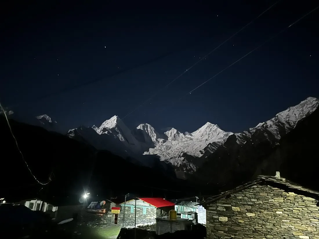
Darma Valley Panchachuli Base Camp Trek
Darma Valley and Panchachuli landscape. Image from the existing 5 Peaks website.
Image from the existing 5 Peaks website; confirm ownership or permission before reuse.
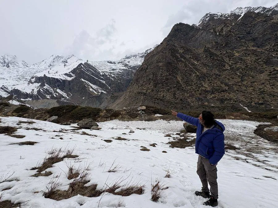
Chhipla Kedar Trek
Panchachuli mountains, Kumaon. Regional landscape; not a photograph of every route.
Image from the existing 5 Peaks website; confirm ownership or permission before reuse.
Milam Glacier Trek
Panchachuli mountains, Kumaon. Regional landscape; not a photograph of every route.
Image from the existing 5 Peaks website; confirm ownership or permission before reuse.
Nanda Devi East Base Camp Trek
Panchachuli mountains, Kumaon. Regional landscape; not a photograph of every route.
Image from the existing 5 Peaks website; confirm ownership or permission before reuse.
Pindari Glacier Trek
Panchachuli mountains, Kumaon. Regional landscape; not a photograph of every route.
Image from the existing 5 Peaks website; confirm ownership or permission before reuse.
Kafni Glacier Trek
Panchachuli mountains, Kumaon. Regional landscape; not a photograph of every route.
Image from the existing 5 Peaks website; confirm ownership or permission before reuse.
Ralam Valley Trek
Panchachuli mountains, Kumaon. Regional landscape; not a photograph of every route.
Image from the existing 5 Peaks website; confirm ownership or permission before reuse.
Sunderdhunga Valley Trek
Panchachuli mountains, Kumaon. Regional landscape; not a photograph of every route.
Image from the existing 5 Peaks website; confirm ownership or permission before reuse.
Garhwal Trek Guides
Garhwal brings together forest trails, alpine meadows, sacred landscapes and demanding high passes. The region includes accessible hill walks as well as expeditions across snow and glaciers. Read beyond the headline altitude: the approach, sleeping elevations, exposure and descent determine how a route feels on the ground.
Kedarkantha Trek
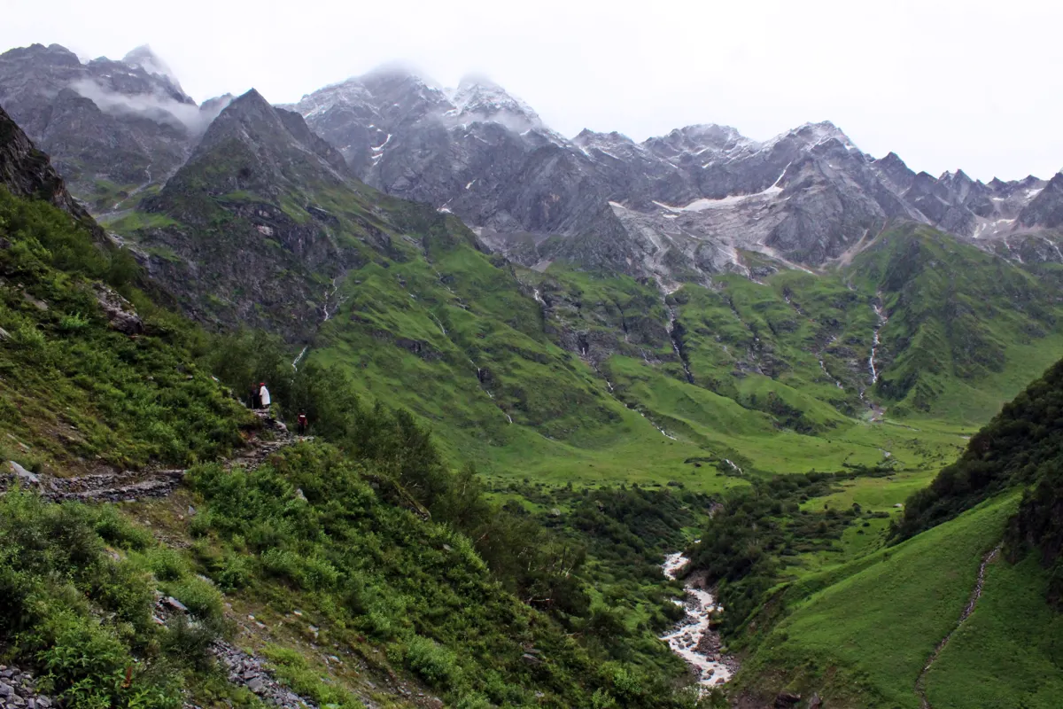
Valley of Flowers, Garhwal. Regional reference image; other guides do not imply this is their route.
Belur Ashok — CC BY 2.0. Wikimedia Commons source
Valley of Flowers Trek
Valley of Flowers, Garhwal. Regional reference image; other guides do not imply this is their route.
Belur Ashok — CC BY 2.0. Wikimedia Commons source
Har Ki Dun Trek
Valley of Flowers, Garhwal. Regional reference image; other guides do not imply this is their route.
Belur Ashok — CC BY 2.0. Wikimedia Commons source
Dayara Bugyal Trek
Valley of Flowers, Garhwal. Regional reference image; other guides do not imply this is their route.
Belur Ashok — CC BY 2.0. Wikimedia Commons source
Chopta Tungnath Chandrashila Trek
Valley of Flowers, Garhwal. Regional reference image; other guides do not imply this is their route.
Belur Ashok — CC BY 2.0. Wikimedia Commons source
Brahmatal Trek
Valley of Flowers, Garhwal. Regional reference image; other guides do not imply this is their route.
Belur Ashok — CC BY 2.0. Wikimedia Commons source
Kuari Pass Trek
Valley of Flowers, Garhwal. Regional reference image; other guides do not imply this is their route.
Belur Ashok — CC BY 2.0. Wikimedia Commons source
Roopkund Trek
Valley of Flowers, Garhwal. Regional reference image; other guides do not imply this is their route.
Belur Ashok — CC BY 2.0. Wikimedia Commons source
Rupin Pass Trek
Valley of Flowers, Garhwal. Regional reference image; other guides do not imply this is their route.
Belur Ashok — CC BY 2.0. Wikimedia Commons source
Bali Pass Trek
Valley of Flowers, Garhwal. Regional reference image; other guides do not imply this is their route.
Belur Ashok — CC BY 2.0. Wikimedia Commons source
Gaumukh Tapovan Trek
Valley of Flowers, Garhwal. Regional reference image; other guides do not imply this is their route.
Belur Ashok — CC BY 2.0. Wikimedia Commons source
Satopanth Tal Trek
Valley of Flowers, Garhwal. Regional reference image; other guides do not imply this is their route.
Belur Ashok — CC BY 2.0. Wikimedia Commons source
Kalindi Khal Expedition
Valley of Flowers, Garhwal. Regional reference image; other guides do not imply this is their route.
Belur Ashok — CC BY 2.0. Wikimedia Commons source
Panch Kedar Trek
Valley of Flowers, Garhwal. Regional reference image; other guides do not imply this is their route.
Belur Ashok — CC BY 2.0. Wikimedia Commons source
Nag Tibba Trek
Valley of Flowers, Garhwal. Regional reference image; other guides do not imply this is their route.
Belur Ashok — CC BY 2.0. Wikimedia Commons source
Himachal Trek Guides
Himachal’s trekking landscapes change from the green valleys around Manali and the Dhauladhar to the dry terrain of Spiti and the broad mountain valleys of Lahaul. Some routes return to the same base; others cross a pass into a different valley. Transport at both ends and the condition of the crossing deserve attention.
Hampta Pass Trek
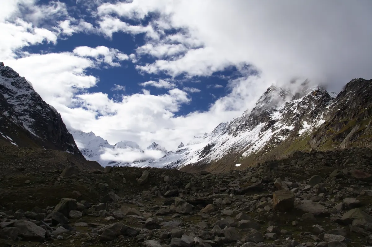
Hampta Pass, Himachal Pradesh. Regional reference image for other Himachal trails.
Raja Selvaraj — CC BY 2.0. Wikimedia Commons source
Beas Kund Trek
Hampta Pass, Himachal Pradesh. Regional reference image for other Himachal trails.
Raja Selvaraj — CC BY 2.0. Wikimedia Commons source
Bhrigu Lake Trek
Hampta Pass, Himachal Pradesh. Regional reference image for other Himachal trails.
Raja Selvaraj — CC BY 2.0. Wikimedia Commons source
Triund & Indrahar Pass Trek
Hampta Pass, Himachal Pradesh. Regional reference image for other Himachal trails.
Raja Selvaraj — CC BY 2.0. Wikimedia Commons source
Pin Parvati Pass Trek
Hampta Pass, Himachal Pradesh. Regional reference image for other Himachal trails.
Raja Selvaraj — CC BY 2.0. Wikimedia Commons source
Parang La Trek
Hampta Pass, Himachal Pradesh. Regional reference image for other Himachal trails.
Raja Selvaraj — CC BY 2.0. Wikimedia Commons source
Kheerganga Trek
Hampta Pass, Himachal Pradesh. Regional reference image for other Himachal trails.
Raja Selvaraj — CC BY 2.0. Wikimedia Commons source
Buran Ghati Trek
Hampta Pass, Himachal Pradesh. Regional reference image for other Himachal trails.
Raja Selvaraj — CC BY 2.0. Wikimedia Commons source
Kinnaur Kailash Parikrama
Hampta Pass, Himachal Pradesh. Regional reference image for other Himachal trails.
Raja Selvaraj — CC BY 2.0. Wikimedia Commons source
Miyar Valley Trek
Hampta Pass, Himachal Pradesh. Regional reference image for other Himachal trails.
Raja Selvaraj — CC BY 2.0. Wikimedia Commons source
Chandratal Baralacha Trek
Hampta Pass, Himachal Pradesh. Regional reference image for other Himachal trails.
Raja Selvaraj — CC BY 2.0. Wikimedia Commons source
Kashmir Trek Guides
Kashmir’s mountain trails are known for high lakes, grassy slopes and seasonal pastoral landscapes. The Great Lakes and Tarsar Marsar routes offer different ways to explore this terrain, while glacier approaches and remote valley crossings require additional experience. Weather, access and local guidance matter as much as a scenic itinerary.
Kashmir Great Lakes Trek
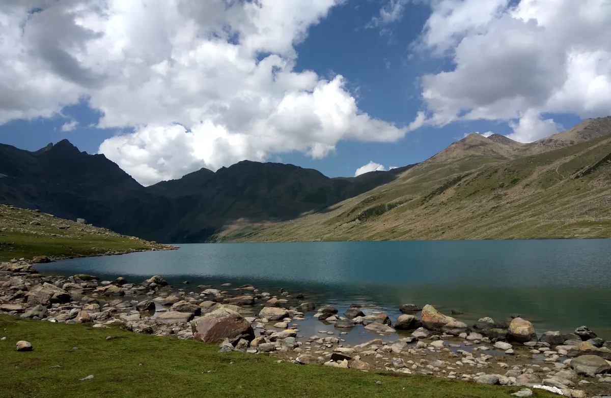
Gangbal Lake below Harmukh, Kashmir. Regional reference image for other Kashmir routes.
Irfanrulz; existing crop by R8cocin8 — CC BY-SA 4.0. Wikimedia Commons source
Tarsar Marsar Trek
Gangbal Lake below Harmukh, Kashmir. Regional reference image for other Kashmir routes.
Irfanrulz; existing crop by R8cocin8 — CC BY-SA 4.0. Wikimedia Commons source
Kolahoi Glacier Trek
Gangbal Lake below Harmukh, Kashmir. Regional reference image for other Kashmir routes.
Irfanrulz; existing crop by R8cocin8 — CC BY-SA 4.0. Wikimedia Commons source
Warwan Valley Trek
Gangbal Lake below Harmukh, Kashmir. Regional reference image for other Kashmir routes.
Irfanrulz; existing crop by R8cocin8 — CC BY-SA 4.0. Wikimedia Commons source
Ladakh Trek Guides
Ladakh’s trails pass through dry mountain valleys, high passes and villages shaped by a distinctive cultural landscape. The altitude makes acclimatisation central even where the walking looks straightforward. Routes toward Zanskar and the Changthang require careful attention to access, remoteness and environmental responsibility.
Chadar Frozen River Trek
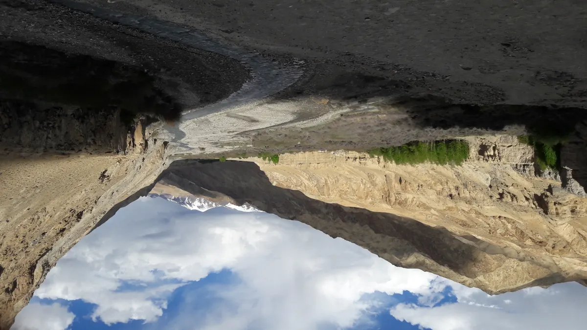
Markha Valley, Ladakh. Regional reference image for other Ladakh routes.
Ksuryawanshi — CC BY-SA 3.0. Wikimedia Commons source
Markha Valley Trek
Markha Valley, Ladakh. Regional reference image for other Ladakh routes.
Ksuryawanshi — CC BY-SA 3.0. Wikimedia Commons source
Sham Valley Trek
Markha Valley, Ladakh. Regional reference image for other Ladakh routes.
Ksuryawanshi — CC BY-SA 3.0. Wikimedia Commons source
Lamayuru Alchi Trek
Markha Valley, Ladakh. Regional reference image for other Ladakh routes.
Ksuryawanshi — CC BY-SA 3.0. Wikimedia Commons source
Darcha Padum Trek
Markha Valley, Ladakh. Regional reference image for other Ladakh routes.
Ksuryawanshi — CC BY-SA 3.0. Wikimedia Commons source
Rumtse Tso Moriri Trek
Markha Valley, Ladakh. Regional reference image for other Ladakh routes.
Ksuryawanshi — CC BY-SA 3.0. Wikimedia Commons source
Choosing a Himalayan trek
Compare terrain, altitude, remoteness and your experience. Some routes cross regional boundaries. Typical season notes do not establish present access; check current conditions and local requirements before travel.